 Via Jasper to Norman Lake CampgroundJuly 27
The summer heat has been a long time coming this year, but now - at the end of July - it's hot and the weather forecast promises dry weather, even in the mountains. My hike this year consists of two different sections. First I will hike in Banff National Park over Sunset Pass to Pinto Lake. After that I want to re-visit Floe Lake in Kootenay National Park, where in 2018 I had to abandon my hike on the Rockwall trail one day early because of a forest fire.
The trailhead for Sunset Pass is about halfway between the towns of Jasper and Banff. I choose the northern route via Jasper. Already in the early morning, the temperature rises to 20 degrees Celsius. On the Yellowhead Highway there is a lot of oncoming traffic, which consists mostly of construction vehicles for the pipeline expansion that is currently being built along the highway. Fortunately, there are not many cars going in my direction yet. I reach Jasper around noon and take the park road to Banff. The beautiful weather has attracted a lot of visitors, the traffic is heavy and many of the parking lots are full.
The Sunset Pass trailhead is unmarked, but I got good directions before I left home. There are even a few parking spaces left. Probably, the steep hiking trail with its countless switchbacks scares off many day hikers.
I pack a few last things into my backpack and start the hike at the information booth. There I find a two-day-old report about the sighting of a large black bear only 100 meters behind the trailhead. I hope that it is far away by now.
| Distance | 4.4 km |
| Time | 2 ½ hrs |
| Min. Elevation | 1439 m |
| Max. Elevation | 2001 m |
| Ascent | 562 m |
| Cum. Ascent | 713 m |
| Cum. Descent | 164 m |
My destination today is Norman Lake campground, a distance of only 4.2 kilometers, but with 562 meters of elevation gain.
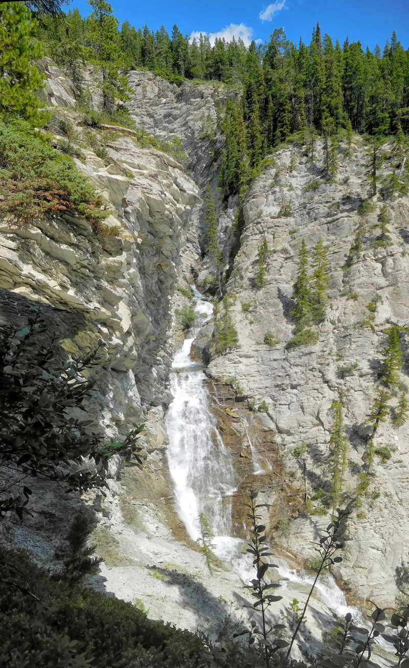
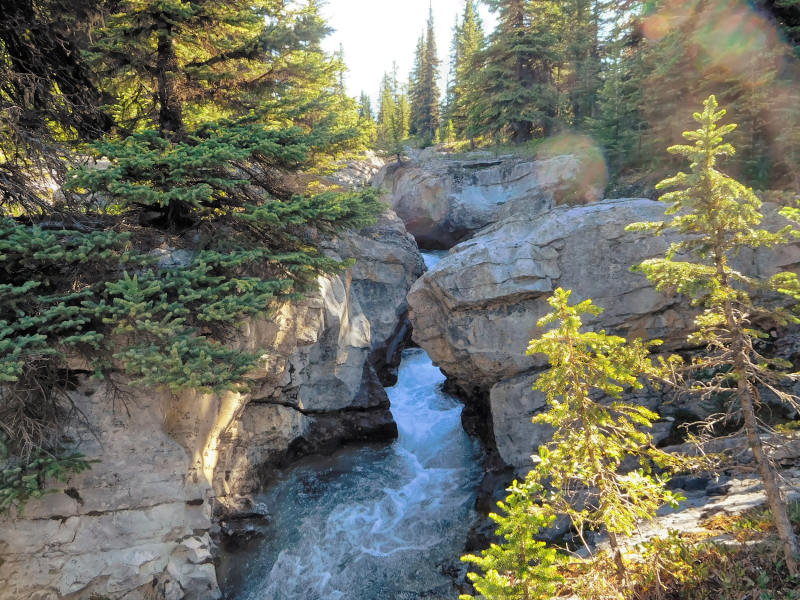
At first the trail climbs gently, and soon I hear the roar of Norman Falls. A short side trail leads to the edge of the gorge, where you have a good view of the falls.
After Norman Falls, the trail becomes very steep and winds up the mountain in many switchbacks. The scorching heat of the early afternoon and the heavy backpack make the climb extremely strenuous. I have to stop often to catch my breath and rehydrate. I count the switchbacks - there are supposed to be 35 - and allow myself a break after every eight of them. After number 25, unexpectedly but not a moment too soon, the turnoff to Sunset Lookout appears. Obviously, I did not count all of the smaller turns as switchbacks.
Sunset Lookout is a former forest fire lookout over the North Saskatchewan River valley. It is 1.6 kilometers off my route and another 143 meters in altitude. I don't have the energy for this detour today, as I've already climbed more than 530 vertical meters on the first three kilometers. I'm glad that the rest of the trail to the campground is not as steep.
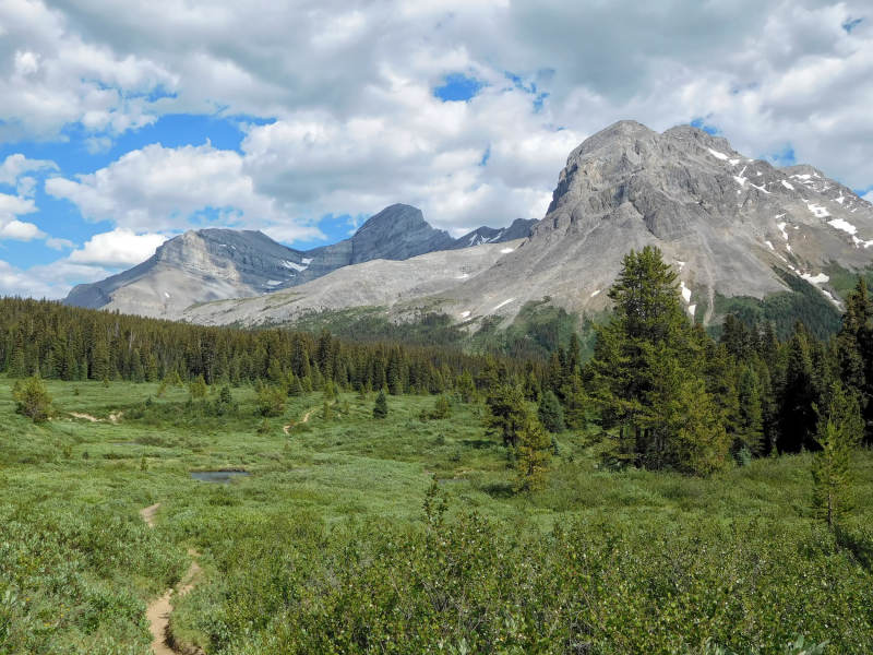
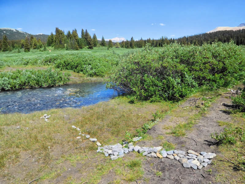
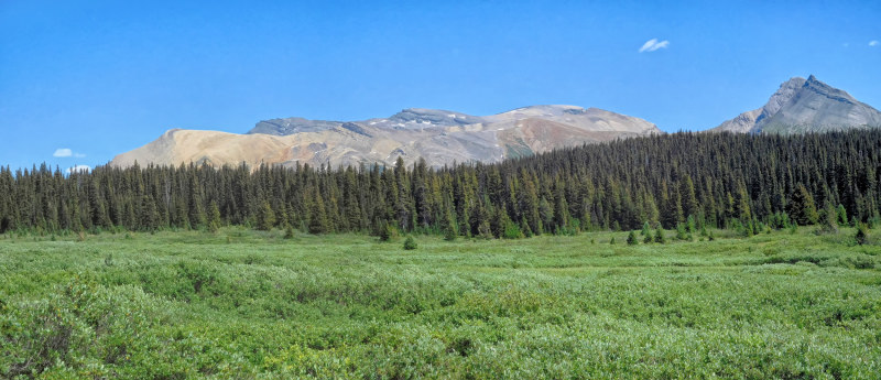
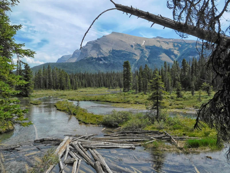
Soon after the turnoff, the trail leaves the forest and enters the willow-covered Norman Creek Meadows.
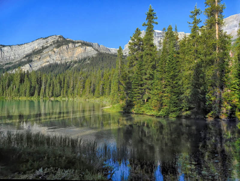
Despite its name, the campground is not on Norman Lake, but on Norman Creek. Norman Lake is a shallow lake at the edge of the meadows and is hardly visible from here. Of the four campsites, only one is taken. The couple staying there have a dog that is not suited for camping and barks at all hikers who come too close. So I move two sites down instead of taking the nicer one next door.
There are gazillions of mosquitoes and blackflies here. As I set up the tent, I start to sweat again and am at the mercy of the insects. I am relieved when the tent is up and my things are inside. Then I go back to the bridge over Norman Creek, to get some drinking water.
Although I am not very hungry after the long drive and a late snack in the parking lot, I prepare dinner. Since I have to lower the hood of my mosquito shirt to eat, I walk around all the time in order to keep the mosquitoes from buzzing too close to my face. I accidentally let go of the handle of my plate for a second, and all the food drops to the pine-needle-covered forest floor. Well, it was the last bag of a store-bought instant meal that had to go and didn't taste good anyhow, the accidental disposal of it maybe a Freudian slip...
I go to bed early. Late in the evening, another couple arrives with their dog. Due to the angry barking from the tent on site 1, the newcomers retreat to the back of the campground. Although it was hot during the day, it gets so cold at night that even in my sleeping bag, I have to put on my usual warm jackets.
| Distance | 12 km |
| Time | 4 hrs |
| Min. Elevation | 1968 m |
| Max. Elevation | 2265 m |
| Ascent | 297 m |
| Cum. Ascent | 693 m |
| Cum. Descent | 693 m |
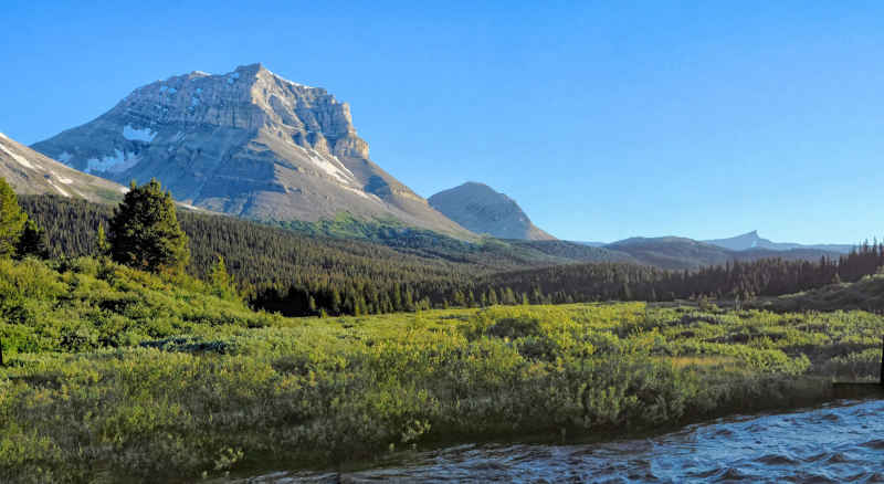
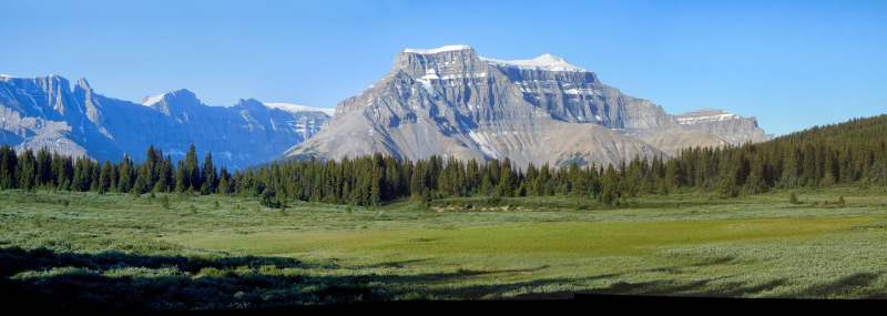
At breakfast the mosquitoes are ready to strike again, the chill of the night does not keep them in check for long. Quickly, I am ready for today's day trip along Norman Creek through the vast Norman Creek Meadows. The meadows consist mainly of tall willow bushes that have overgrown the trail. Mount Coleman rises on the other side of the creek, the view back falls on Mt. Amery.
In the distance, the twin waterfalls of Norman Creek are briefly visible. As I pass by, the view into the canyon is blocked by large rocks, so I have to be content with listening to their roaring.
Today I visit the abandoned camp of the Skyline Hikers, an organization that runs week-long summer camps in the Rocky Mountains, which I also attended some years ago. They use the camp here at Sunset Pass about every ten years. A friend gave me their hiking map.
Where the main trail crosses Norman Creek, I stay on the right and follow its bank. The trail is easily recognizable because horses are used to carry equipment and luggage to camp.
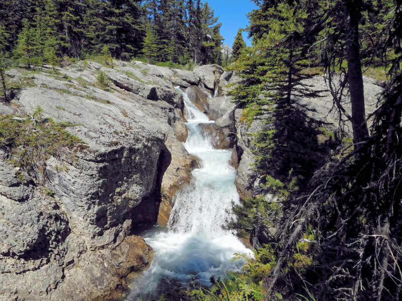
The trail continues along Norman Creek with its beautiful cascades and canyons, when suddenly an oversized teepee appears in front of me. The long poles for the camp's prospector tents are kept in this way during the inactive years. I have arrived at the first destination for today.
I walk around the perimeter of the camp and come across a primitive wooden bridge that connects the communal and dining tents with the sleeping area. I discover a natural rock bridge over Norman Creek, but can't find a clear path on the other side.
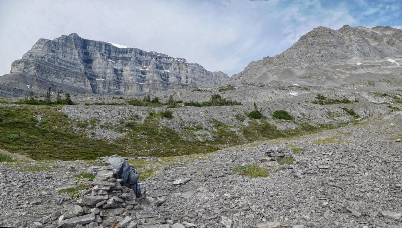
At the southeast end of the camp, a distinct trail leads uphill. I follow it through the trees until it joins the next higher meadow of willows, and then disappears. I look for a route along the edge of the fairly open meadow, as there is no good way through the trees. When the willows get denser and impassable, I switch to an avalanche slope. It is extremely steep, but at least the terrain is open. With increasing altitude, I get a very nice view from the barren foothills of Mt. Wilson.
Panting, I reach a rocky knoll, which I declare to be the end of today's excursion. I take my lunch break here.
From up here, I can see a possible loop along the edge of the mountain to the other side of the willow bushes and back to the Skyline Hikers’ camp. But I would probably get lost in the thick brush, as I doubt that there is a clear trail on the other side of the meadow. I prefer to go back the way I came.
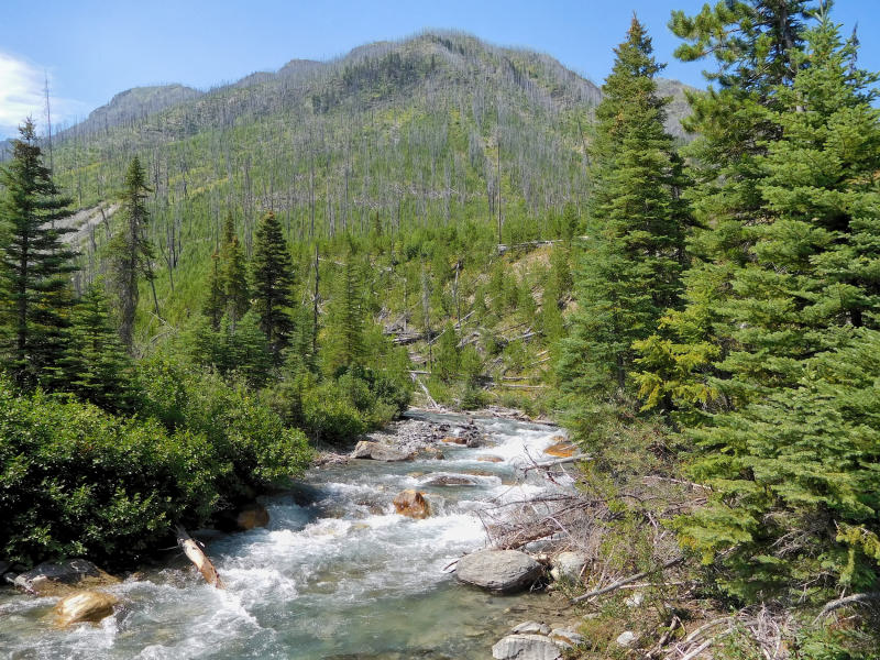
On the return to the main trail, I marvel at the many canyons and pools of lively Norman Creek, which seem even more attractive now that the sun is higher.
At the ford near the main trail, I run into a couple changing their shoes to cross the creek from the other side. They give me good tips for camping and hiking at Pinto Lake, my destination for tomorrow. Since it is still early in the afternoon, I change into my sandals and cross the creek to hike part of the way to Sunset Pass. The water is not deep, but the current is noticeable. On the other side, the willow bushes are more than shoulder-high and make the path extremely narrow. You really have to fight your way through the undergrowth. I keep checking for my sandals, which I have attached to the outside of my backpack to dry them. At least the bushes are not wet; otherwise the path would be even more unpleasant.
A day hiker from Norman Lake campground catches up with me. He doesn't know exactly how far it is to the pass either. Too far, it seems to me, and I'll be back here tomorrow. I turn around when the trail leaves the meadows and disappears into the forest. As I would find out the next day, it was still a long way to the pass.
Meanwhile, other hikers have arrived at the campsite. The couple with the barking dog from number 1 has left. An empty hammock now swings in this spot. It will stay empty for a while, because He is setting up camp all by himself, while She is already sitting in her camping chair reading!
| Distance | 9.8 km |
| Time | 4 hrs |
| Min. Elevation | 1743 m |
| Max. Elevation | 2195 m |
| Descent | 452 m |
| Cum. Ascent | 501m |
| Cum. Abstieg | 667 m |
This night was warmer than the last. A brief shower came down, so I have to pack up the tent wet. As usual, it takes me two hours to break camp. When I have to hurry for some reason, I can do it faster - sometimes. By 9 o’clock I'm ready to go.
I quickly reach the ford of the creek and put on my sandals. Even with the heavy backpack the crossing is no problem.
The tall willow bushes, however, offer a lot of resistance to the big backpack. Luckily they have already dried after the rain. Again, I check regularly to make sure my sandals are still attached to the outside of my pack.
Finally I reach the end of the willow bush zone. From here the trail winds through the adjacent forest. After a while I come across a sign marking the border between Banff National Park and the White Goat Wilderness. However, there is no mention of Sunset Pass, even though I thought it was in Banff National Park. My hiking guide claims that this is the highest point of the hike and the beginning of the pass. Only, the expected spectacular view is missing. I hike cross-country over some rocks, because according to my map this is where one of the Skyline Hikers’ trails starts. But the route turns out to be unsuitable for a hike with a fully loaded backpack. Instead I follow the main trail deeper into the White Goat Wilderness.
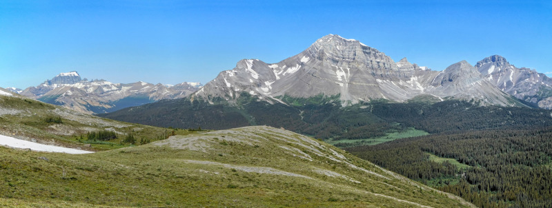
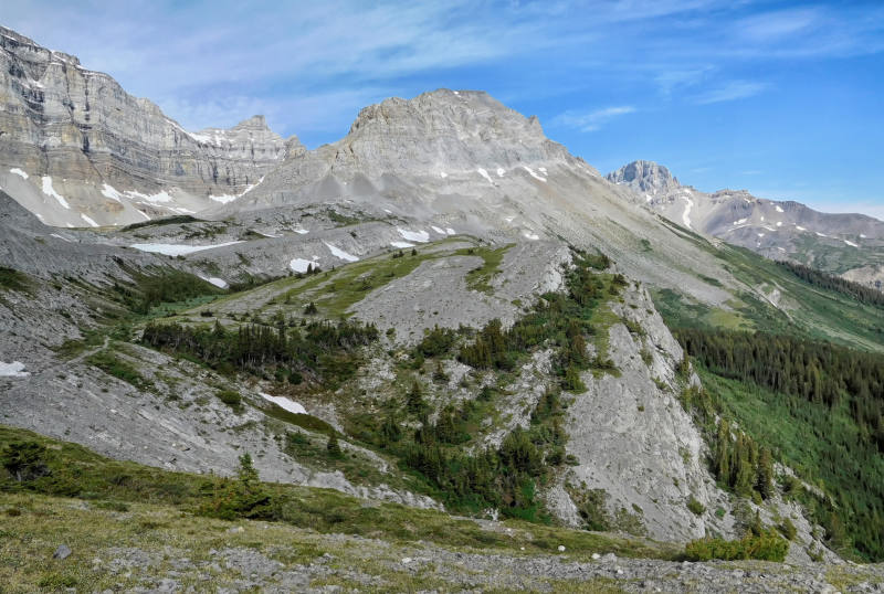
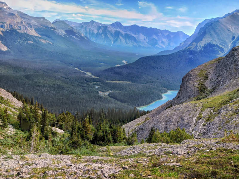
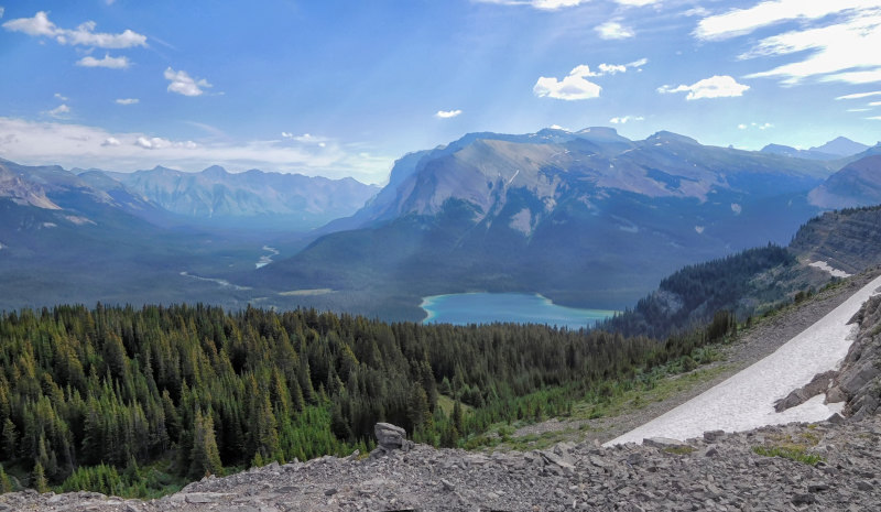
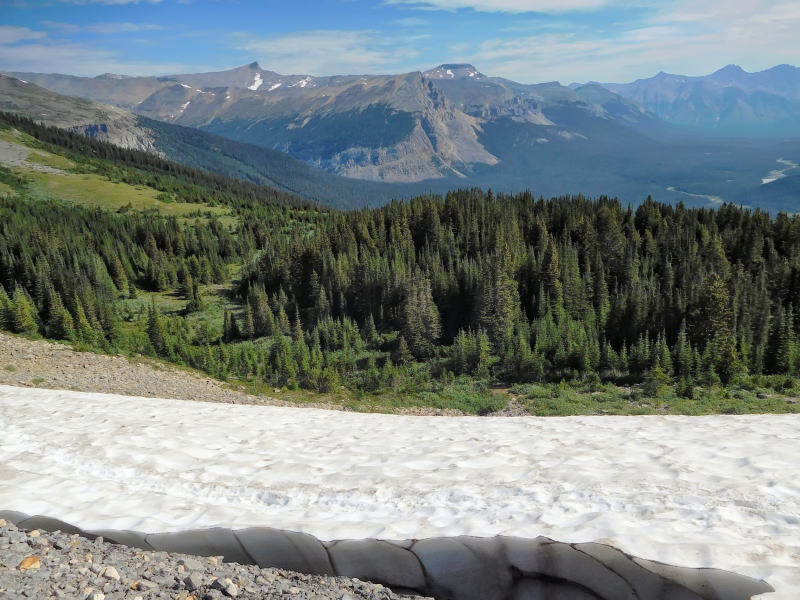
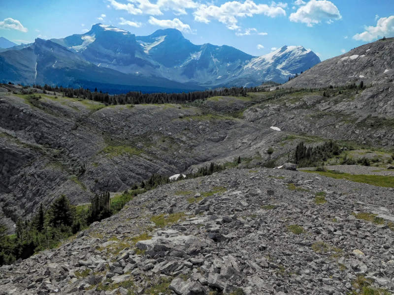
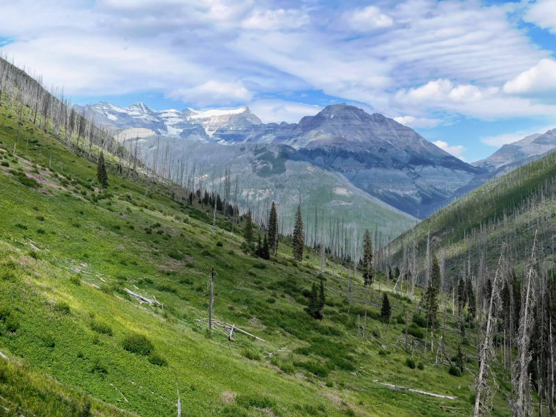
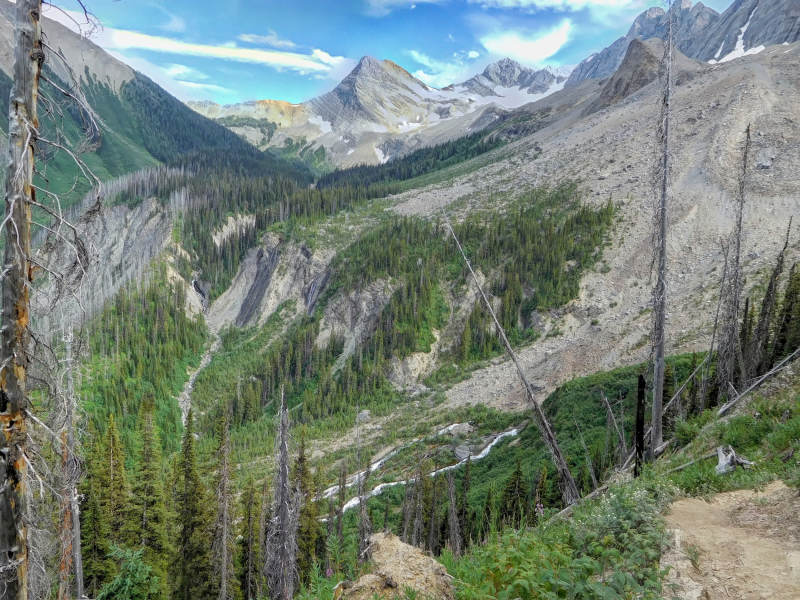
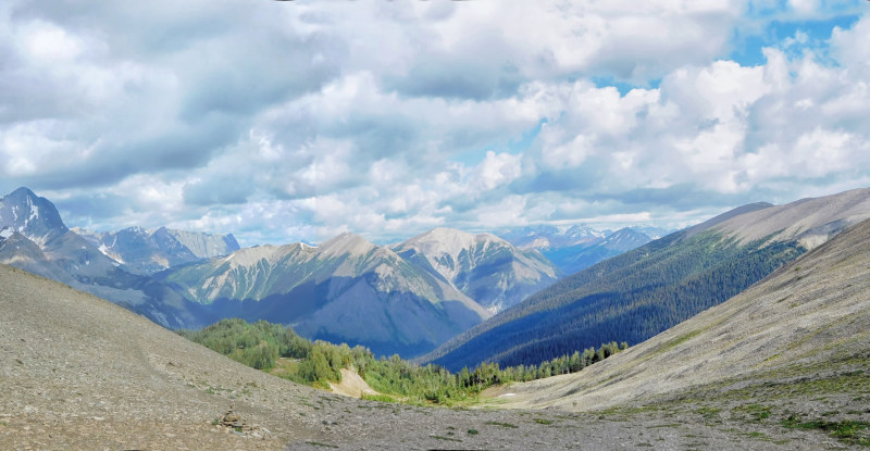
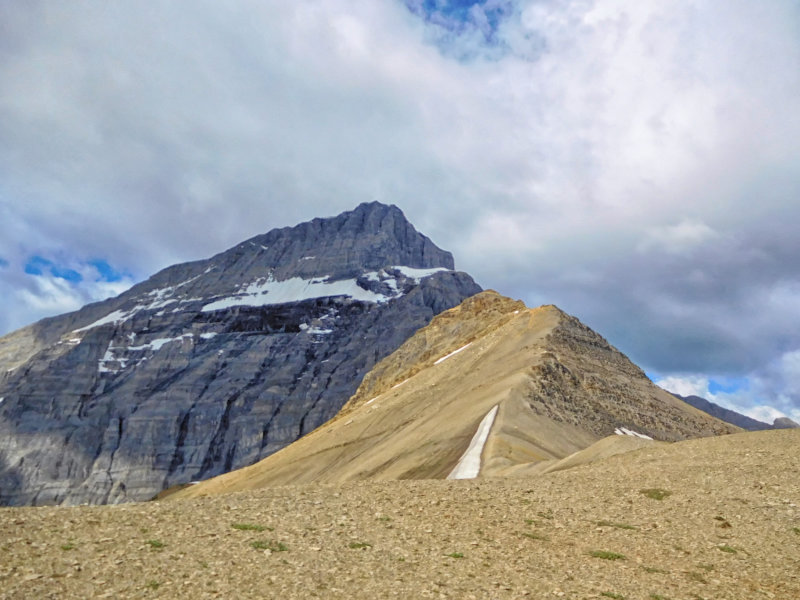
Soon the trail leaves the thinning forest and follows a steep escarpment to the northwest. Here I am finally rewarded with stunning views of the surrounding mountains and the Cline River valley ahead.
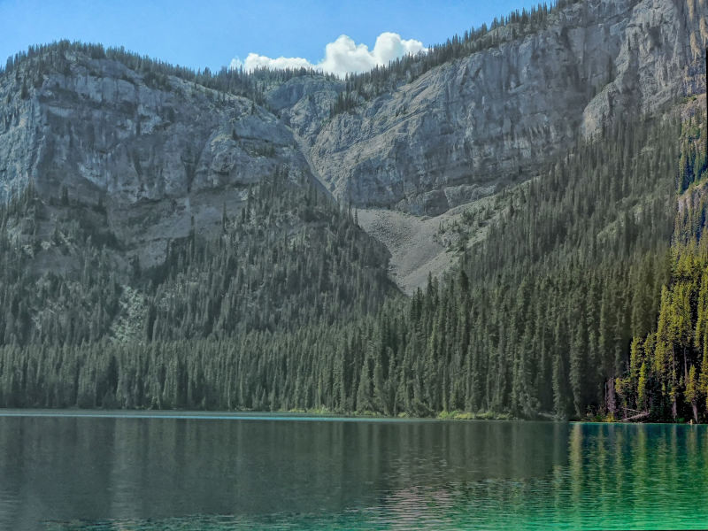
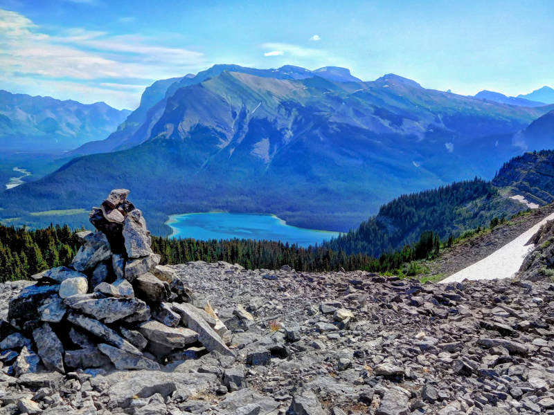
I enjoy my first glimpse of Pinto Lake down below in Alberta's Bighorn Backcountry.
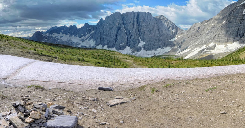
A cairn marks Pinto Lake Lookout. As the name suggests, you have a beautiful view of the lake. Because of the clouds and the backlight it is not quite as brightly blue as I have seen it on some photos. I linger for a bit and enjoy the view.
Clouds move in from the south and the wind picks up.
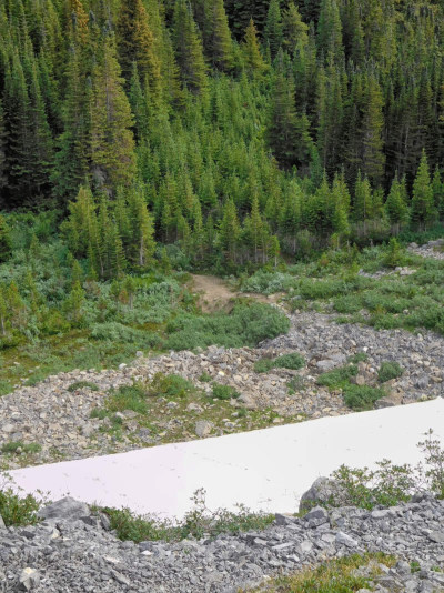
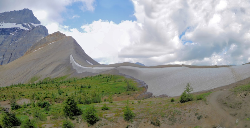
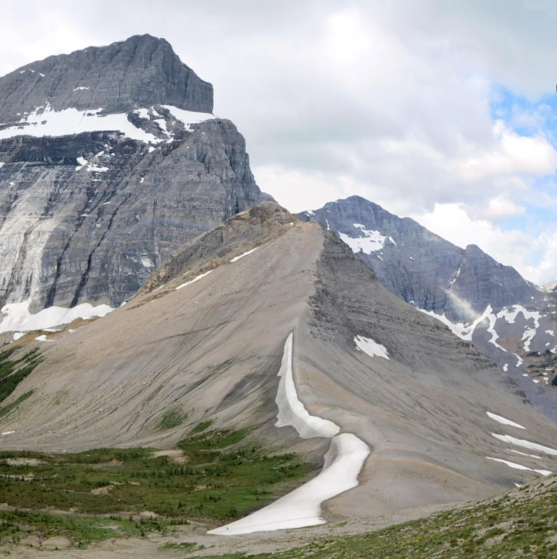
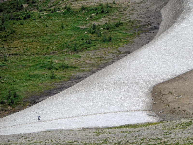
The descent from the lookout begins with the traverse of a cornice. It looks worse than it is. Only the first few steps in the slippery scree are tricky, while in the snow I can follow the well-trodden track made by numerous hikers who have walked here before me.
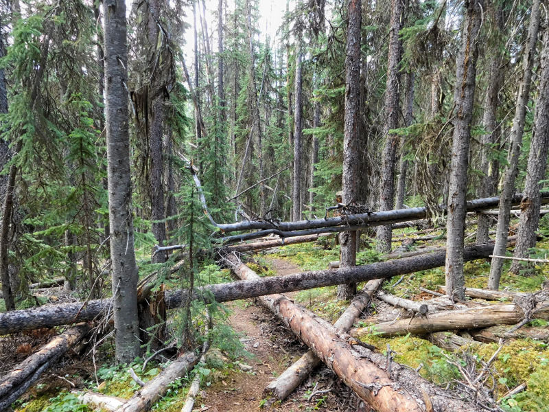
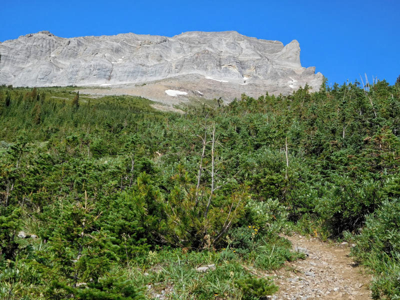
After crossing an avalanche slope, I am swallowed up by a dense krummholz forest. The trail is extremely narrow and leads down the mountain in steep switchbacks. From another avalanche slope, I catch one more glimpse of Pinto Lake, and then the bushes and small trees block the view. The further I get into the valley, the higher the trees grow and the more often they have fallen across the trail. Climbing over them with the big backpack is extremely tiring.
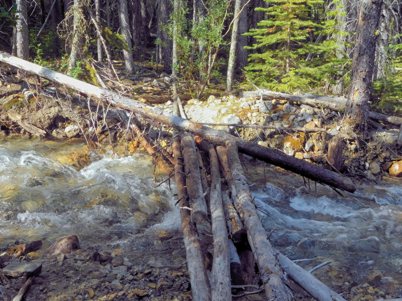
I am glad to finally reach the bottom of the valley. The trail now follows the Cline River, which is quite braided here and has hardly any current. I cross its side-arms and swamps on some logs.
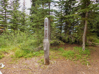
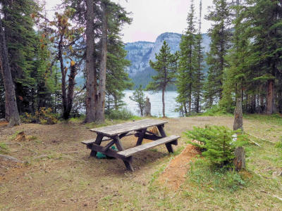
I arrive at the Pinto Lake main camp, a clearing near the lake. There is a fireplace, a toilet and a bear-proof hanger for the food. At the moment, the camp is deserted and looks a bit desolate. I hike along the lake shore to one of the next camps. The two hikers I met at the ford the day before recommended it to me. It's only ten minutes from the main camp, has a picnic table, a nice access to the lake, and about four or five primitive sites.
Since there is no bear pole here, I would have to hang my food for the night from a suitable tree. Over time, countless huge trunks have fallen into the clearing. It has become quite windy, and I look warily at the still standing trees that tower over every campsite. No, I don't like the prospect of camping here alone. I'd rather return to the main camp.
There I choose a campsite at the edge of the clearing. Just like in the national parks, the tent area is somewhat separated from the picnic area. Further back in the bushes, I even discover brand new metal lockers. However, the doors are so jammed that I prefer to hang my food bag on the bear pole.
With the wind and the clouds, I do not trust the weather and cook an early dinner. Meanwhile, I get company, Bobbie and Will, a couple from Fort Saskatchewan. They pitch their tent right next to the picnic area and the fire pit. Will immediately takes care of getting firewood. He cuts down a large dead tree and hauls the trunk and branches in to saw and split them. I don't think he let the campfire go out once all weekend.
We are the only hikers today and sit around the fire, its smoke keeping the mosquitoes somewhat under control.
| Distance | 7km + 3.6 km |
| Time | 3 hrs + 2 hrs |
| Min. Elevation | 1739 m |
| Max. Elevation | 1833 m |
| Ascent | 94 m |
The next morning there is no wind and the sky is a deep blue. To have breakfast at the lake shore, I walk silently past Bobbie and Will who are still fast asleep in their tent.
Today I want to walk around the lake and explore a cave that I have read about in various reports on the internet. I put on my sandals to cross the outlet of the lake. It is very wide, but has little current, so crossing it is no problem.
First, the trail is clearly defined, as it is a well-travelled section of the Great Divide Trail that runs along Pinto Lake to Pinto Pass and on to Michelle Lakes. On the north shore of the lake, I find several additional campsites, but they are even more rustic than those on the other side. A sign tells the story of how in the fall of 1923, a homesteading family almost had a tragedy here when the husband shot himself with his rifle and his wife had to amputate his arm. Only in the spring of 1924, passing Natives finally alerted a rescue party.
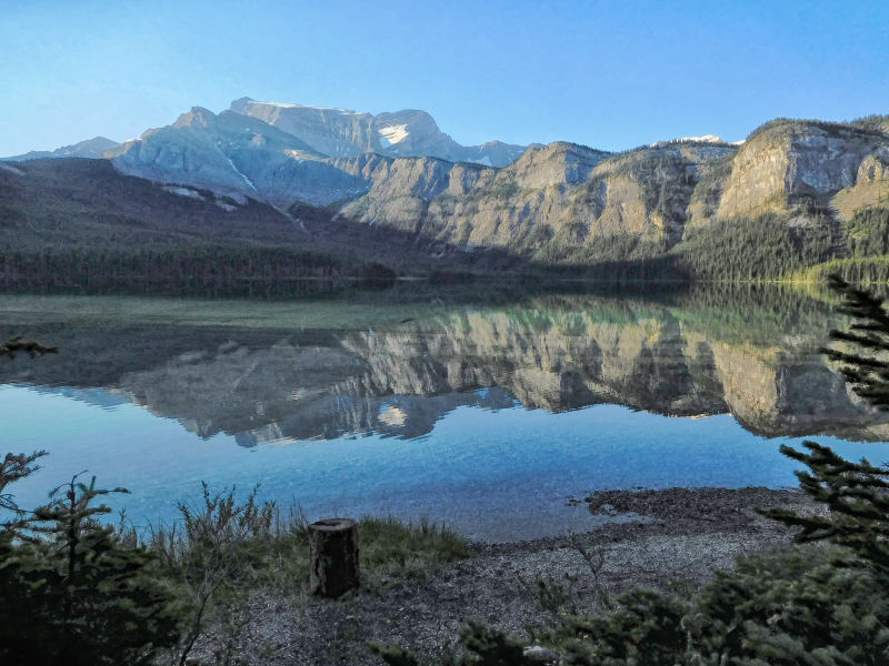
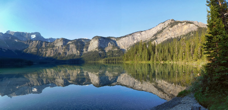
Because there is no wind, the lake and the surrounding mountains are at their most beautiful.
Soon the Great Divide Trail leaves the lake. Instead of following it uphill to Pinto Pass, I cross a creek and try to follow it down to the lake in order to connect with the trail on the other shore. But the terrain is very confusing and my map not very accurate. I prefer to go back to the campground the same way I came. Maybe the faint animal trail right on the shoreline would have led me all the way around the lake.
When I return to camp, Bobbie and Will are taking a dip in the lake. Several new hikers pass the main camp towards camp 3. It is still early enough to have a look at the other side of the lake in search of the cave.
I join the passing hikers and stop for lunch at camp 3 before heading out to explore. The trail crosses wet meadows and finally winds along the water's edge as a narrow, barely visible track. Again and again, fallen trees obstruct the path and dense undergrowth makes it hard to climb over or around them.
Far ahead I can see the so-called chute, a different access from Sunset Pass to Pinto Lake. It is a very steep and rocky climb that is only recommended for the most adventurous.
At a particularly nasty blockade of trees and shrubs, made worse by the steep bank, I give up. There is simply no getting through. On the way back I run into Bobbie and Will. Undeterred by what I recount, they are determined to fight their way to the cave. They carry a small saw with them.
I hike back to the main camp and cook an early dinner. An hour or two later, Bobbie and Will return. They actually made it to the cave. Just a few minutes from where I gave up, the trail emerges below a steep scree slope. Next to a waterfall, the couple climbed up the slope to the cave. They shot a video inside the cave, which is really spectacular, with another small waterfall and its own little lake. Too bad that I gave up.
The camp is filling up quickly. Clotheslines are strung between the tents and a lively fire is started in another fire ring. The many newcomers, a family with friends, are very welcoming. Later, two young women cross the lake twice in search of a more private camping spot, not even taking off their waterproof hiking boots. They can't find anything better and finally pitch their tent right next to mine. They look like pros, but surprisingly they have brought tinned food and forgotten the can opener. Will opens the cans with his pocketknife and a rock.
I'm clearly the oldest here. The two elders of the family may be nearing sixty, but everyone else is in their twenties or thirties. We spend a fun evening by the lake. The hardy ones go for a swim in the frigid water. Some booze is passed around, as the August Long Weekend needs to be celebrated.
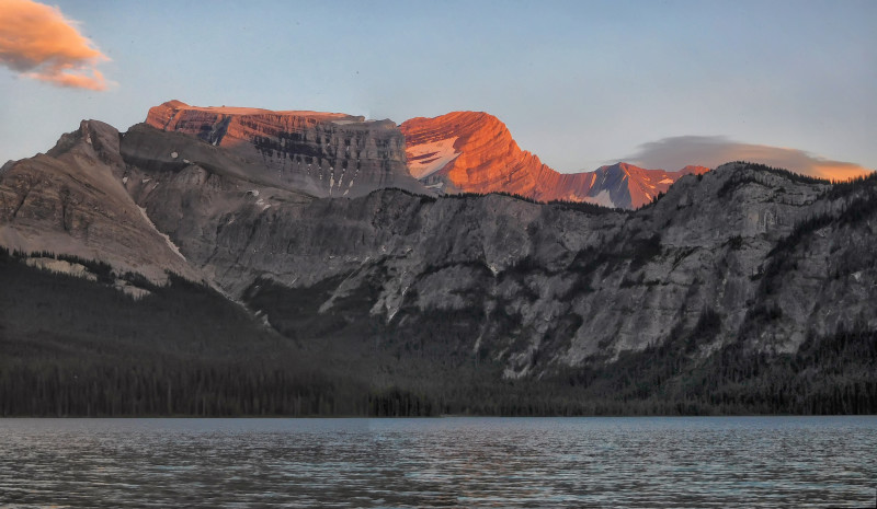
Later we watch the sunset, which according to Will was particularly spectacular yesterday. Today there is some wind and no reflection in the lake.
Shortly after dark, the fire in the tent area is extinguished. Except for the tireless couple from Fort Saskatchewan, everyone goes to bed early. I sleep soundly through the night.
| Distance | 9.8 km |
| Time | 4 hrs + |
| Min. Höhe | 1743 m |
| Max. Elevation | 2195 m |
| Ascent | 452 m |
| Cum. Ascent | 667m |
| Cum. Descent | 501 m |
At dawn - I am still in the tent - I hear the sound of rain. I don't like that at all, because the narrow path up the mountain will be terribly wet. When the rain stops, I get up and have breakfast under the tarp that the well-equipped couple from Fort Saskatchewan has set up next to their tent by the main fire pit. They are still fast asleep.
I pack up camp. Before I take down the tent, I temporarily store my backpack under the tarp, because the sky doesn't look very reliable. Meanwhile, Will comes out of the tent to answer a call of nature. Then he diligently pushes up the tarp to drain the collected rainwater. I quickly jump out of the way and right into a cold morning shower. We have a good laugh. With many apologies from Will, I put on my rain gear and head out. I had expected to get wet anyway, but not until later on the way through the underbrush.
Getting back through the forest with all the fallen trees seems easier today than on the way in. I make good progress even through the dense underbrush higher up. In the meantime, the sun has come out and evaporated most of the moisture. My rain gear proves to be unnecessary.
The ascent over the cornice to the pass also goes smoothly, thanks to the still visible footprints in the snow.
At Sunset Pass, I go off trail and climb up a small knoll. Here, I find the most beautiful spot with the best views. The weather is sunny and I take a long rest. A young woman has spotted me from the trail and joins me at the viewpoint. After a nice break she decides to hike to Pinto Lake and back. Young people...
I walk along the ridge for a while until my route rejoins the main trail. There I take a good look down the chute into the deep gorge. No, I would not like to go down this way at all, especially not with my big backpack.
I reach Norman Lake campground, and this time I take the nicest campsite near the picnic tables. At first, I think I will stay alone for the night, but then another young couple shows up. After I have eaten, Bobbie and Will arrive at the campground. They only left Pinto Lake at noon and want to hike out today because they have to get back to work tomorrow. While they take a break, we have a little chat, and then they are on their way.
At night, flashes of summer lightning appear: silently and for hours on end. The strange spectacle makes me think for a moment that something is wrong with my eyes.
| Distance | 4.4 km |
| Time | 2 hrs |
| Min. Elevation | 1439 m |
| Max. Elevation | 2001 m |
| Descent | 562 m |
| Cum. Ascent | 164 m |
| Cum. Descent | 713 m |
During the night, a small rain shower annoys me, because it means that I cannot pack a dry tent. It is all downhill from the campground to the parking lot, where I arrive after 2 hours.
First I pack food and fresh clothes for the next stage of the hike to Floe Lake. It is about 150 kilometers to the trailhead, a drive of 1 ¾ hours. At Lake Louise I have a hard time finding a parking spot. After calling home, I visit the local supermarket and buy two buns as a side dish for tonight’s dinner. At Castle Mountain I turn onto Highway 93S and soon reach the Floe Lake trailhead. Since the parking lot is full, I park right in front of the trail and wait for a spot to open up. Fortunately, it does not take long, as it is already afternoon and many hikers are returning from the Rockwall trail, which ends here. The departing driver is even kind enough to make sure that no one cuts in front of me.
| Distance | 11.4 km |
| Time | 4 ½ hrs |
| Min. Elevation | 1313 m |
| Max. Elevation | 2038 m |
| Ascent | 725 m |
| Cum. Ascent | 828 m |
| Cum. Descent | 159 m |
It is 1 o'clock and already 27 degrees. I cross the glacier-blue Vermilion River and take a delayed lunch break by the bridge before starting the almost 11 km long climb.
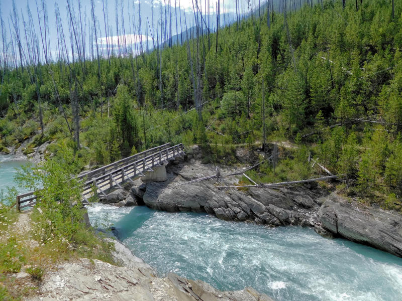
The trail follows the Vermilion River and is fairly flat. I walk through an old burn. Dead tree trunks stick up in the air, and the gusty winds blow through them with a whistling sound. On another bridge, I cross Floe Creek, which flows into the Vermilion River here. The trail turns and follows the valley of Floe Creek uphill.
The trail runs high above the creek and gets steeper. The vegetation has grown back after the forest fire, but is not very tall yet. There is no shade and the afternoon sun burns mercilessly. At one point, I take a wrong step and have to put my hand on the ground to catch myself. It is hot to the touch. In this oven I tire quickly and am soon exhausted. I can't rehydrate as quickly as I sweat out the fluid. I am running out of water, and it is still very far to the only accessible stream on the way.
Finally, I reach the side creek that rushes underneath a simple footbridge on the trail. Here I take a break and filter fresh water.
Now the steepest part of the trail begins over the so-called headwall. After my last rest, I hardly managed to lift the heavy backpack back onto my shoulders, so for the next breathers I rather leave it on. Two exhausted men are sitting at the side of the trail having a snack. They left the parking lot just before me. At least I won't be the last to arrive at Floe Lake campground today.
At 18 o’clock I finally make it and reach my destination.
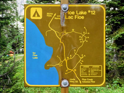
Almost all the campsites are on a steep slope above the lake. Of course, the only one left is at the very top. I am not done climbing yet. Very tired, I pitch my tent and walk down to the picnic area by the lake. Since all the tables are taken, I eat my dinner between the rocks on the lakeshore. Luckily the cooking is quick because I bought the buns and just fill them with meat and vegetables. I am so exhausted that I am barely hungry. But the food is good, and I finally start to enjoy the scenery.
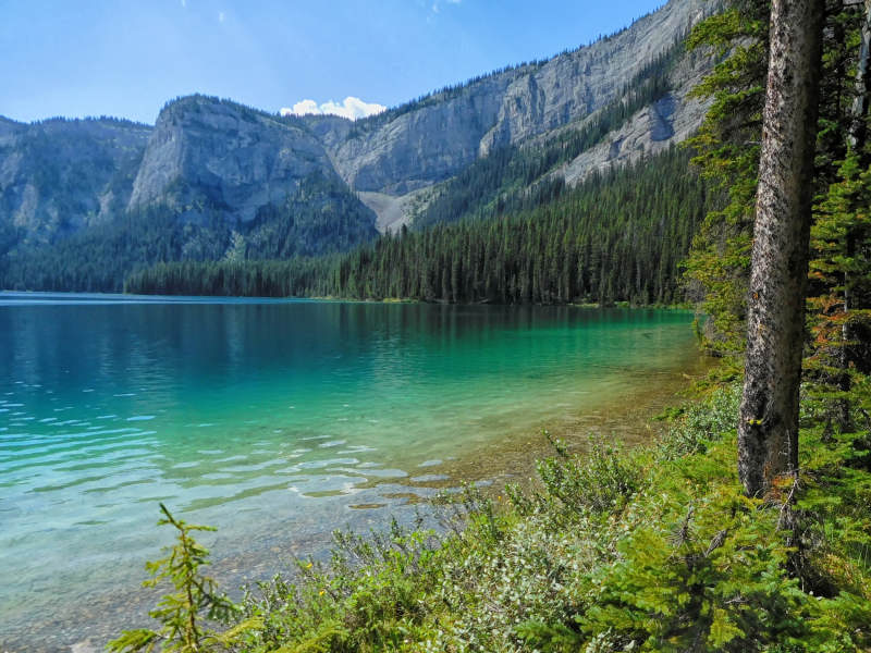
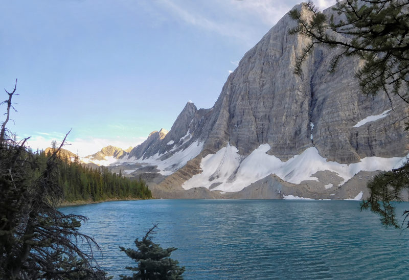
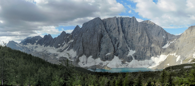
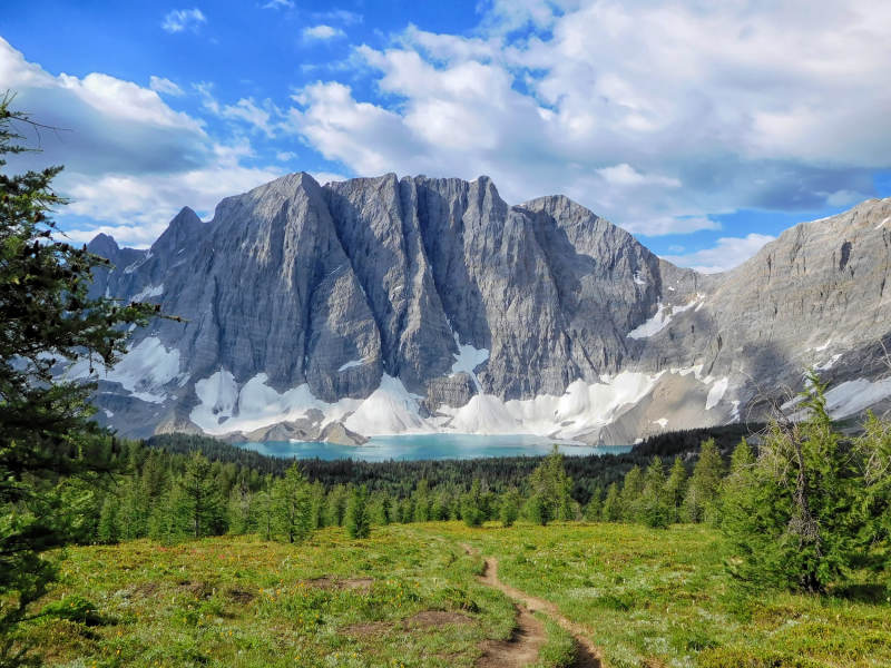
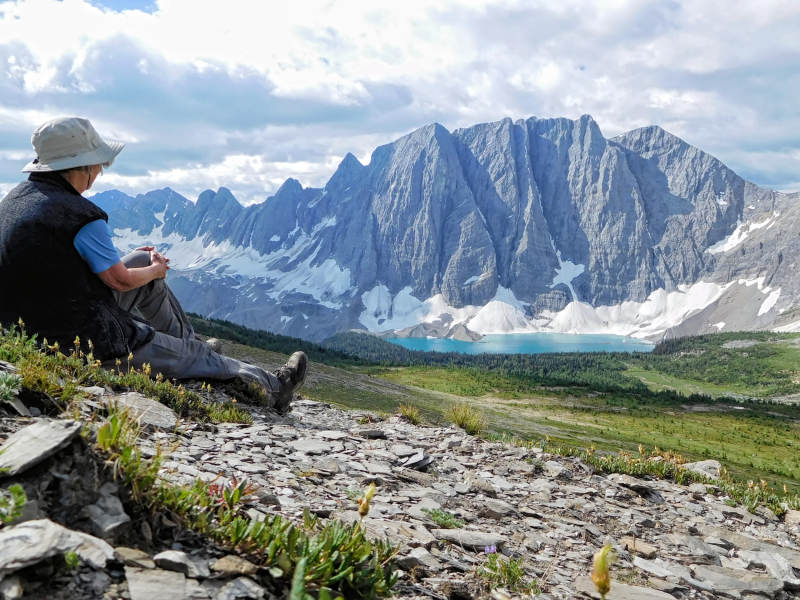
Floe Lake is magnificent. Tonight the water is rippling in the wind and I can only guess at the magical blue of the lake.
| Distance | 7.1 km |
| Time | 4 hrs |
| Min. Elevation | 2040 m |
| Max. Elevation | 2456 m |
| Ascent | 416 m |
| Cum. Ascent | 650 m |
| Cum. Descent | 650 m |
The next morning is clear and sunny. However, the relative calm is broken by heavy wind gusts. My tent neighbors leave for their next leg of the Great Divide Trail, the Rockwall. After that they want to go to Pinto Lake via Owen Creek. I tell them about the cave, and they will try to include it in their plans.
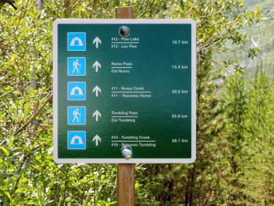
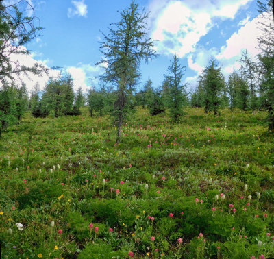
Today I want to explore the route up 2720-meter-high Numa Mountain. If the summit is beyond my reach, I hope to climb the false summit. I hike up to Numa Pass and enjoy the wildflowers and the increasingly beautiful view of Floe Lake on the way.
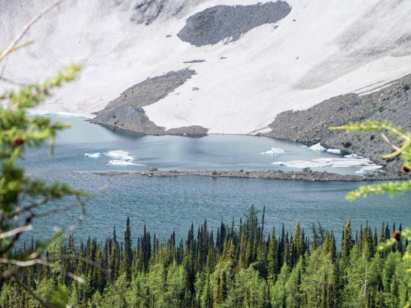
Floe Lake owes its name to the small pieces of ice that float on the surface of the lake.
There is still snow on the pass. It is very windy up here.
I turn right towards a ridge that will allow the ascent of Numa Mountain. On the slope, the wind almost knocks me over. I aim for a large boulder and sit down in its lee. From here I have an unobstructed view of the pass, the mountains all around, and the Rockwall on the other side. I could sit here forever.
I fight my way through the wind to the very top of the ridge. From here I can at least see my goal, the false summit of Numa Mountain. The wind threatens to blow me off the ridge, and the leeward side below the ridge is too steep to walk on. Unfortunately, there won't be an ascent of the mountain today.
I slowly follow the ridge back down, on a different line that is less steep than the ascent. Soon I join the main trail and make my way back to camp.
Since I arrive at the campground early enough, I move my tent to a vacant spot closer to the lake. Now the trip back from the picnic area is not so tiresome if I have forgotten something in the tent.
I spend a pleasant afternoon and evening on a sunny rock right by the lake. A group of young people entertains us with artistic jumps into the frigid water. The sun burns hot enough, but the chilling dunks don’t go off without a lot of hooting and screaming.
Together with some photographers who are well-equipped with all kinds of gadgets, I wait for the wind to die down and for the reflections of the mountains to appear. Alas, tonight this is not to be.
| Distance | 11.4 km |
| Time | 3 hrs |
| Min. Elevation | 1313 m |
| Max. Elevation | 2038 m |
| Descent | 725 m |
| Cum. Ascent | 159 m |
| Cum. Descent | 828 m |
The next morning I go down for breakfast at 5:30, but I am not the first one at the lake. The photographers with their big lenses and tripods are already in position. Finally, not a breath of wind! In the first morning light, we catch the reflections of the mountains in the water.
Early in the morning I make my way down to the valley. It's still cool, and it only takes me three hours to get to the parking lot.
I drive a fellow hiker to his car that is parked at the Paint Pots trailhead. He and his 16-year-old son have completed the Rockwall trail. Remarkably, they were able to grab one of the popular spots at nearby Lake O'Hara, which is like winning the lottery. There they will conclude their father-son tour.
I'm off for the long drive home. It was another beautiful hike with Floe Lake as the icing on the cake.


